Service 01
Exploration & Mineral Analytics
Utilizing state-of-the-art geological mapping and satellite imagery to identify and quantify high-yield mineral deposits with surgical precision.
Overview
How Datu Kalinga delivers
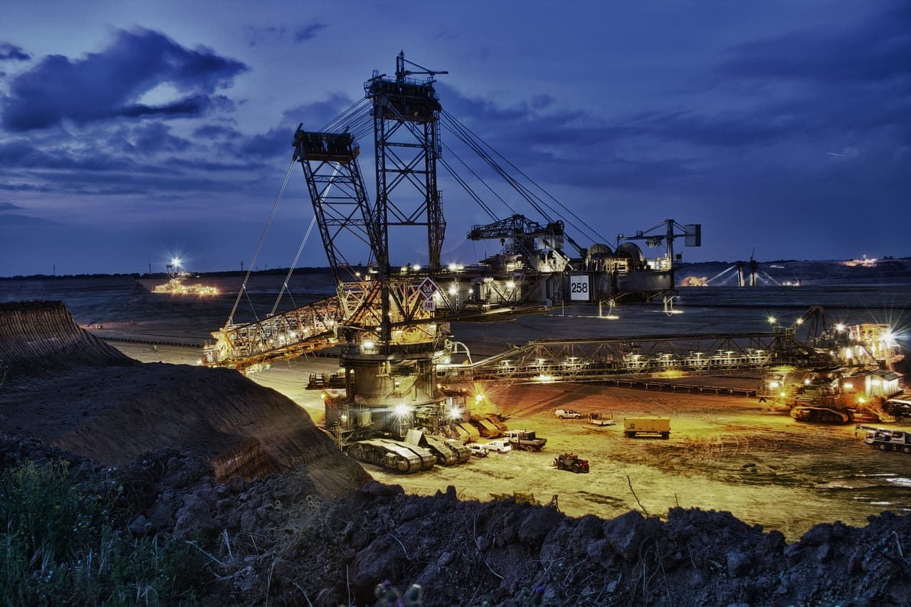
Successful mining starts with knowing exactly what is in the ground. Our exploration programmes combine geological mapping, satellite imagery and field sampling to locate and quantify mineral deposits before major capital is committed.
Findings are translated into clear resource models and recommendations, giving investors and partners a sound basis for deciding whether, where and how to mine.
Our process
From discovery to restoration
Discover
Geological mapping, remote sensing and sampling identify and quantify deposits.
Plan
Mine design, infrastructure, power and ESG plans are developed together.
Operate
Extraction and processing run to world-class safety and efficiency standards.
Restore
Land is rehabilitated and returned to productive use, including agro-allied projects.
Exploring a mineral or industrial opportunity?
Talk to Datu Kalinga about exploration, operations, infrastructure and responsible development.
Partner with us